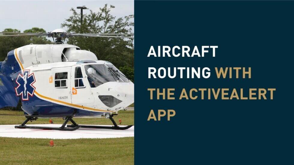
With Active911’s alerting app, you are able to change your mapping settings so that you can see how far an incident is if traveling by aircraft. Rather than turn-by-turn navigation, you will get direct point to point distance.

This is an extremely helpful tool for any agency that has Life Flight, air ambulances, tanker planes, or airplanes for search and rescue teams. You can also use this tool for directing other aircrafts such as drones.
How to use this feature:
When you get an alert, you are accustomed to clicking on the alert address so that you can be routed to the alert location. This typically happens on city streets using driving directions.
Now, if you are responding in an aircraft, you can use aircraft routing. In settings, scroll down to Routing Mode, and select “Aircraft.” Then click into an alert and select the address. You will notice the directions are in degrees and nautical miles, to help you get to your location faster and easier. If you would like to use this feature as well as the many other great features of Active911’s alerting app, you can start a free trial now. Interested in learning more about some of the other features of our alerting app? Check out this post where we go over 10 other features. And don’t forget to check out our YouTube page for more great tutorials.


